Researching Landslide Risk

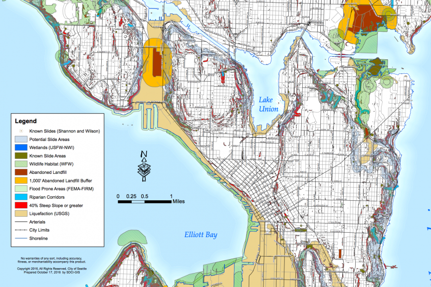
A question came up on a listing we recently posted concerning the slope that the home sits on. If you’re wondering how to research whether a home you’re considering is in an “environmental critical area” we recommend using the City of Seattle’s GIS (geographic information system) map.
Just type in your address and check what you’re interested in (steep slope, potential slide, liquefaction, known slide areas…) and it’ll highlight all that on a map. Or, the city has a PDF of critical areas.
Want to dig deeper? Hire a geotechnical engineer who will do some background research on soil conditions and slides in the area, and then meet you at the property in question for a visual inspection of the slope and the home’s foundation.
In our Googling we’ve found that landslides have damaged (and some cases destroyed) homes on Perkins Lane, on Mercer Island, in Maple Valley, in Gig Harbor, on Whidbey Island, Bainbridge Island and of course, Oso.
